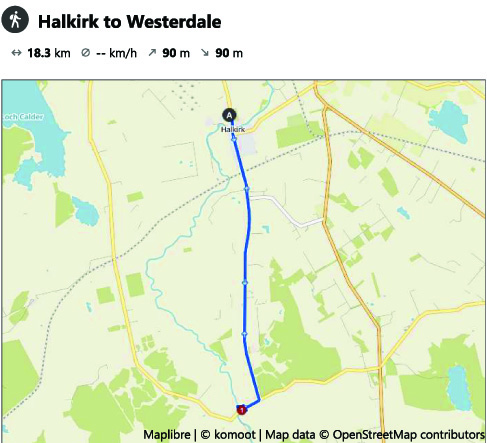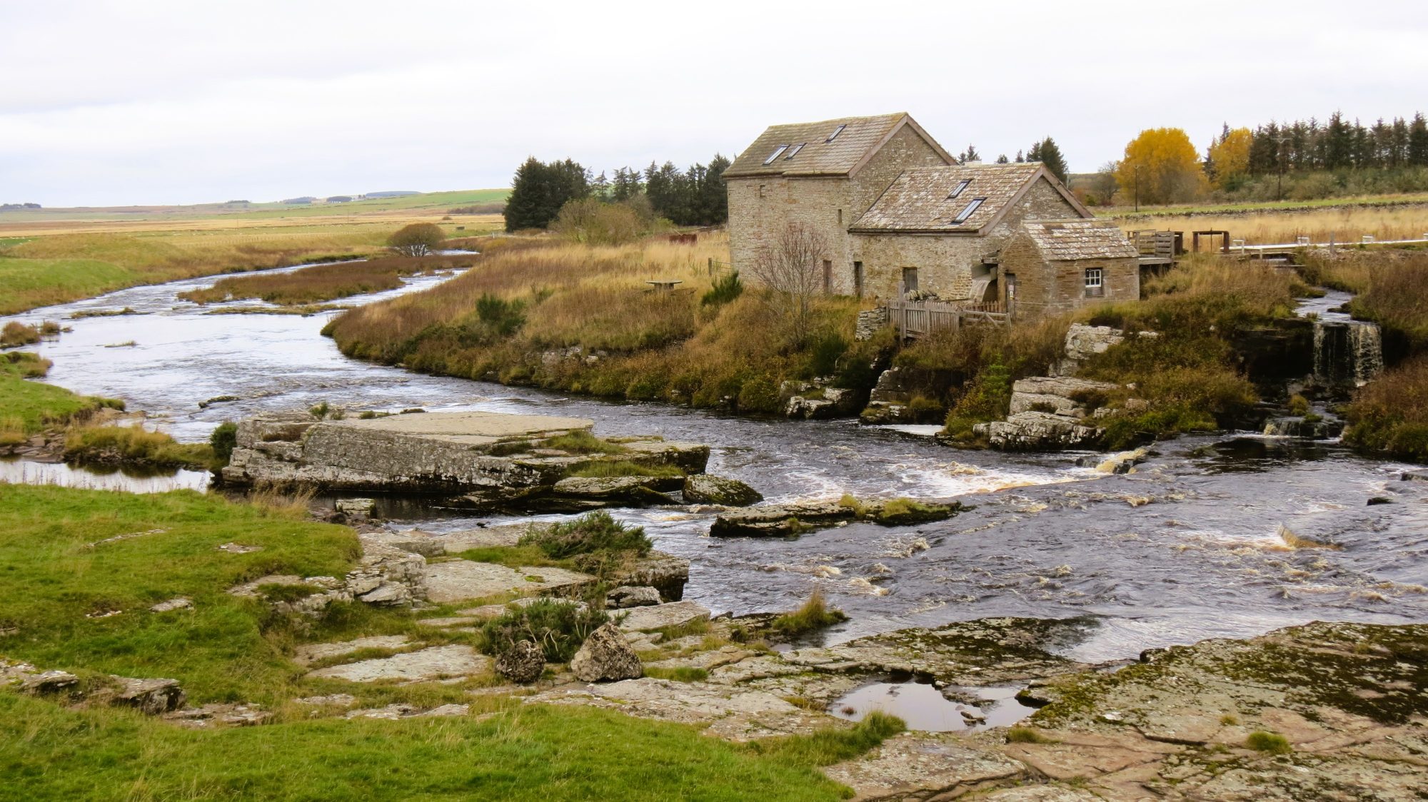
A walk from Halkirk to Westerdale yesterday. A cloudy and windless day as I took the very straight country road from my home in Halkirk to the junction with the B870. Turning right brought me to the Bridge of Westerdale. A short distance downstream from the bridge are two similarly constructed early 17th century corn mills.The mill on the east bank is still in use and generates electricity for Dale House. The ruins of the second mill are on the west bank of the river, its mill lade now dry. The beehive shaped structure is a 17th century Doocote or Dovecot. The mound with the cairn is the remains of the Tulach Lochain Bhraiseil Broch. There are around eight brochs (Pict fortified houses) in and around the bridge.There are also photos of the mill lade which provides the water to drive the turbine in the eat mill, and a photo of a now seemingly disused and stone built sheepfold.